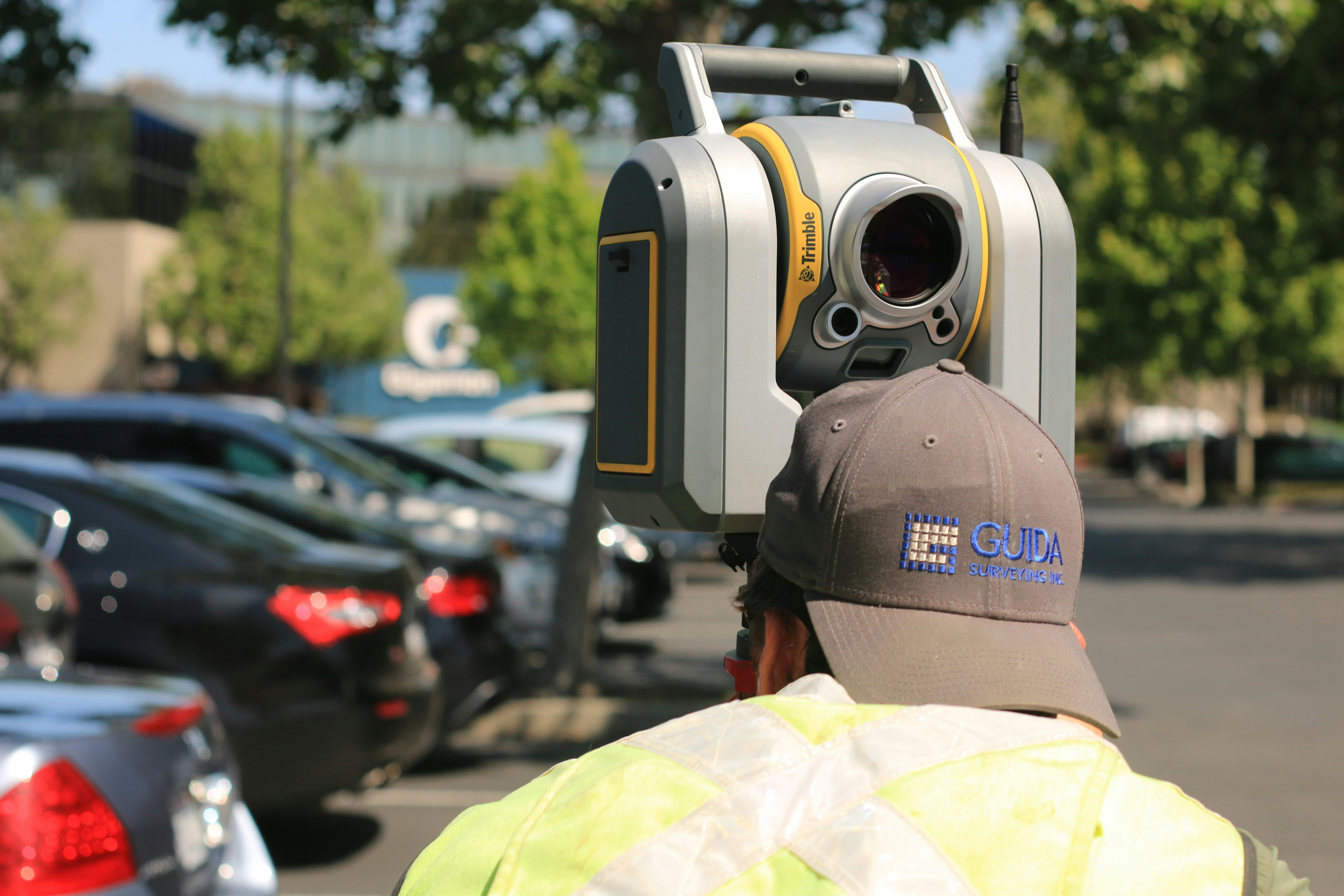
Our team works interchangeably with Leica and NavVis equipment depending on the task. Combining LiDAR and SLAM technologies provides the accuracy and scalability as required. Servicing all industries and sectors, previous projects have ranged between 500 to 20M square feet.
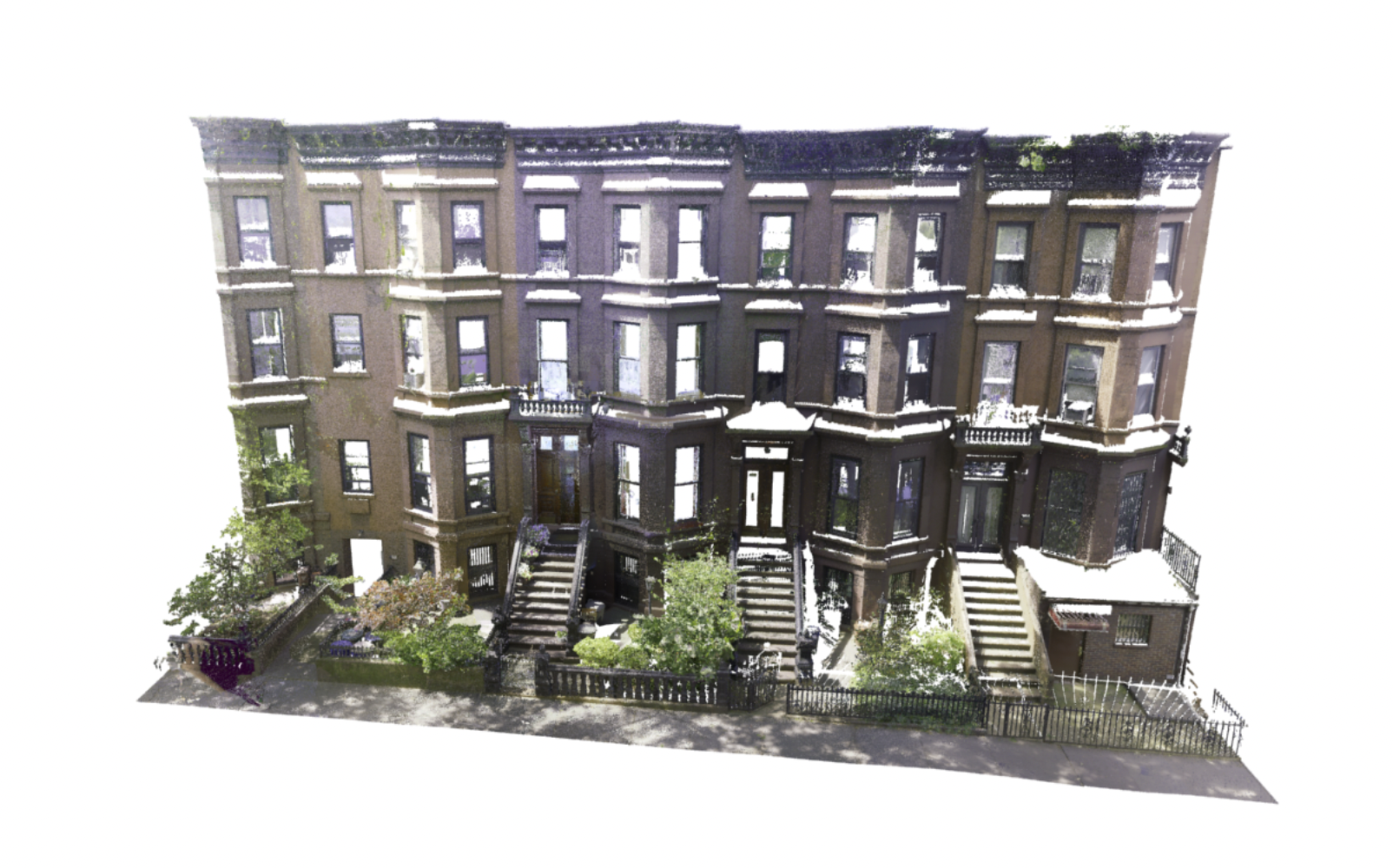
High fidelity optics and algorithms allow us to digitize space pixel by pixel. With both terrestrial and aerial capabilities we can capture both intricate details and mass volumetric studies. Primarily serving the conservation and asset cataloging sectors.
Our team works interchangeably with Leica and NavVis equipment depending on the task. Combining LiDAR and SLAM technologies provides the accuracy and scalability as required. Servicing all industries and sectors, previous projects have ranged between 500 to 20M square feet.


